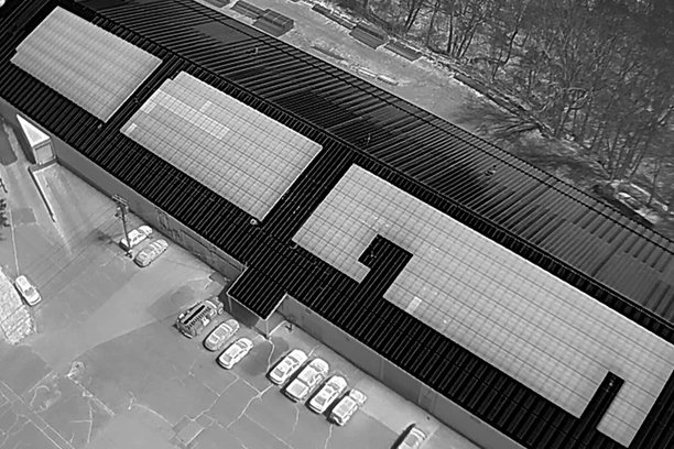
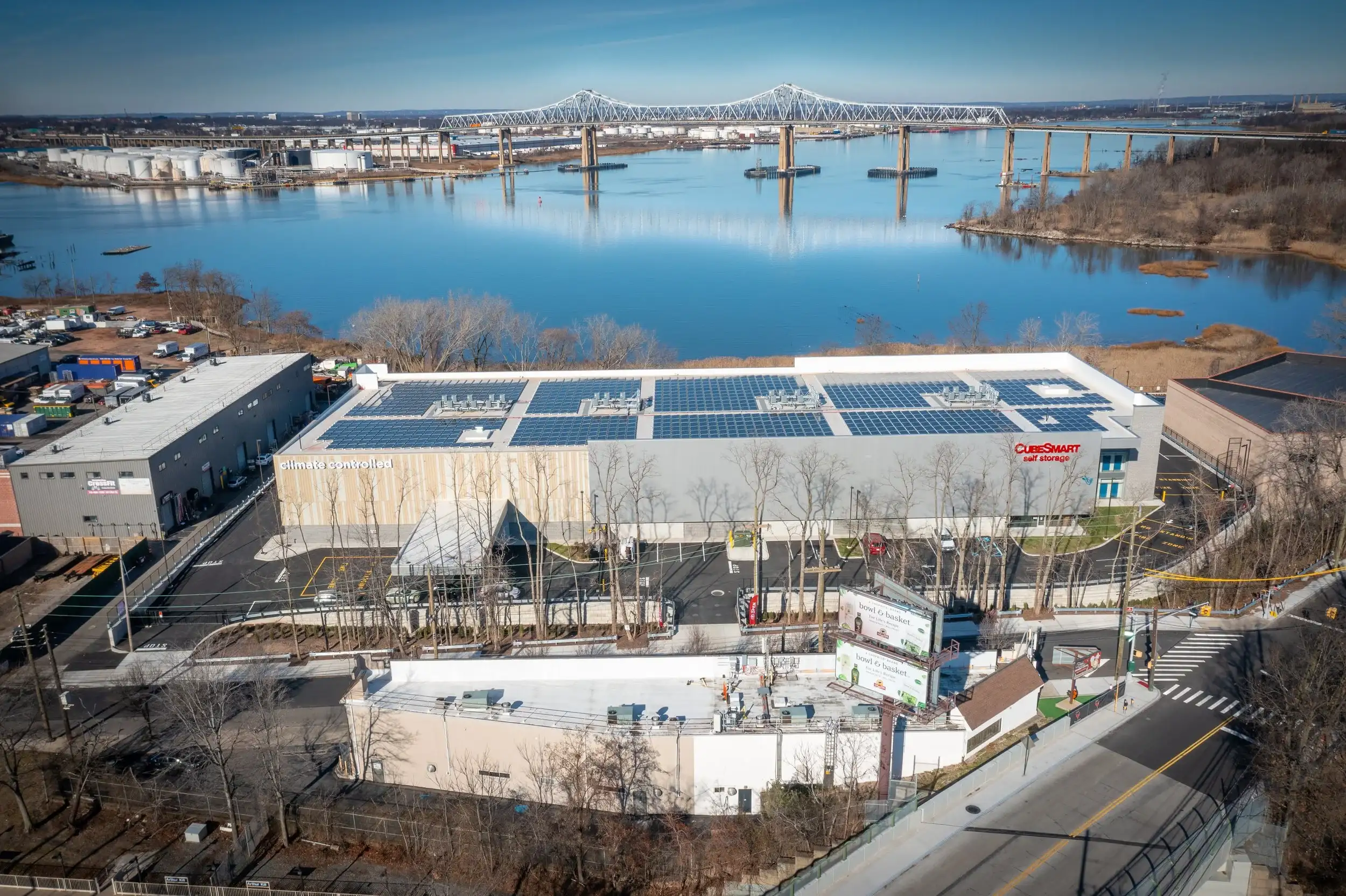
IRIS Drones create precise 3D models of your project site using drone photogrammetry and thermal imaging. These models allow EPCs to verify installation accuracy, terrain undulation, and system performance.
Solve Capacity Test Challenges
Failed capacity tests often stem from incorrect PV modeling that ignores topography. IRIS Drones accurate 3D site models incorporate real terrain and azimuth data—ensuring your PV Syst models reflect the actual conditions.
Applications:
As-built terrain verification
Irradiance and shading analysis
Civil design validation
System optimization
Let’s Work Together
Ready to bring your vision to life? Let’s collaborate and achieve exceptional results together!