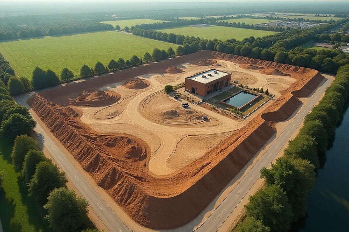
Before breaking ground, IRIS Drones helps you see the full picture. Our interactive aerial maps let you explore potential hazards such as rock outcroppings, bodies of water, or debris—helping you plan your site layout with complete confidence.
Topography & Site Mapping
Using survey-grade RTK drones combined with Ground Control Points, we produce topographic data with centimeter-level accuracy. Our detailed terrain models allow for more precise grading, reduced change orders, and reliable civil design.
Site Design Integration
IRIS Drones create concept designs based on real topography, ensuring more accurate energy and financial models. Files can be provided in AutoCAD format for direct use by your engineering team.
Our Pre-Construction Deliverables Include:
Preliminary Site Visits with Ortho Mosaics
Field Measurement Verification
Cut & Fill Calculations
Civil & Alta Survey Verification
SWPP Monitoring
Let’s Work Together
Ready to bring your vision to life? Let’s collaborate and achieve exceptional results together!